Markha Valley - The Classic Route
In October 2019, I did a solo trek through the Markha valley taking the classic route that goes from Stok to Hemis and crosses three high passes - Stok La, Ganda La and Kongmaru La. The trek can be done independently in the summers as most of the villages have basic homestays or campsites with food available on demand. I spent the first night in my own tent, the next 4 nights in homestays and the last one in a hired tent. All campsites along the route were closed at this time of year except for the one in Nimaling. However, most of the homestays were open.
Before starting, I spent a couple of days walking around Leh town for acclimatization and one night in a homestay in Stok village sipping copious amounts of namkeen chai (salted butter tea).
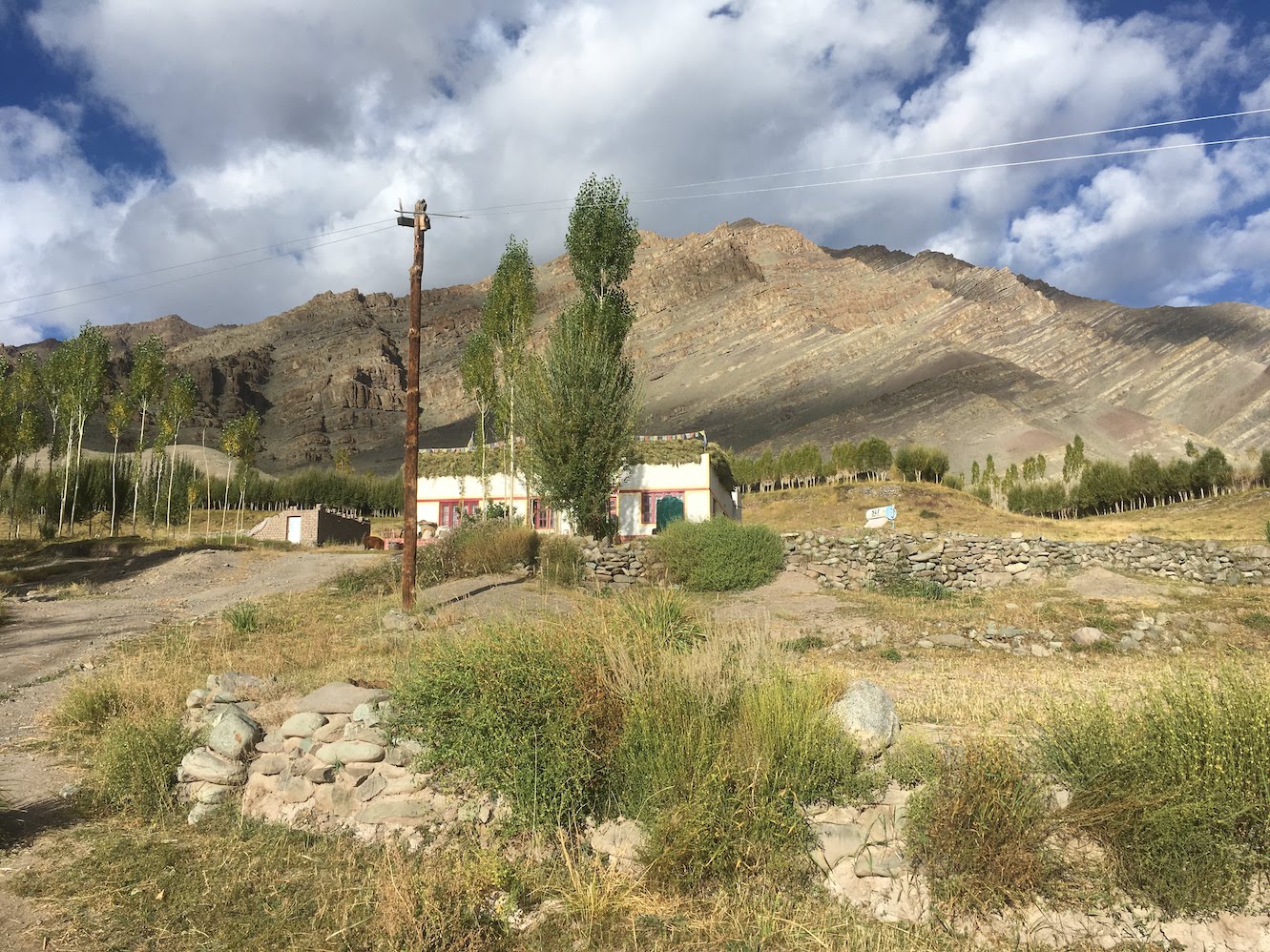 Homestay in Stok
Stok to Yurutse
After saying goodbye to my hosts in Stok, I hoisted my backpack and started off straight into the Stok gorge on a bright sunny morning. The trail from Stok is well marked and lavender and wild roses adorn its surroundings. I continued along the Stok stream to reach the campsite of Chang Ma (4100m) where the the trail divides into two. The wider trail crosses immediately across a small stream and climbs steeply towards the Stok Kangri base camp. However, the trail to Stok La goes further along the smaller stream and crosses it about a 100 metres upstream. I confirmed the route with some porters and made my way along a dry stream that leads to the base of the pass.
After 2 hours of steady uphill, I reached the campsite of Doksar (4450m), a high altitude grazing area used by locals to tend to their herds. The campsite was desolate with grass and small shrubs being the only sign of life around. A few stone shelters built by shepherds were empty as well and there was a flat stretch just above them to pitch my tent. The air was really thin at this altitude and mundane tasks like getting things in and out of the tent got my heart rate high. What made matters worse was the fact that the water source was about a 100 metres downhill from the campsite. It started getting cold by afternoon and after having an early dinner of instant noodles, I got into my sleeping bag by 6:00 PM. The high altitude made the whole night a struggle for sleep. I couldn’t get good sleep that night but was otherwise comfortable in my tent.
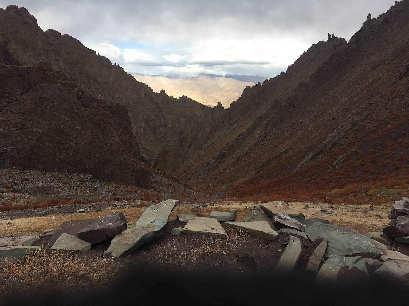 Looking back from Doksar campsite
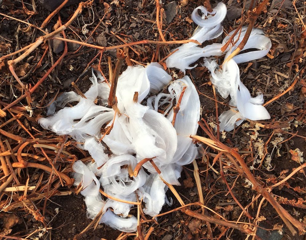 Frost flowers in the morning
I got up early next morning and had some tea and a couple of granola bars before starting off for Stok La (4850m). The path goes straight up the mountain and joins the wider trail coming from the Stok Kangri base camp before heading south west through long, moderately steep switchbacks. Stok La is a double pass and the main pass is visible only after reaching the first one. There is a staggering change of scenery just close to the pass. From magenta and smooth on one side, the mountains change to light brown and spiny on the other. One can see the eastern face of Stok Kangri as well as the Ladakh range from the pass. To the south of the pass lies the village of Rumbak, cradled on all sides by smooth, barren mountains of various colours.
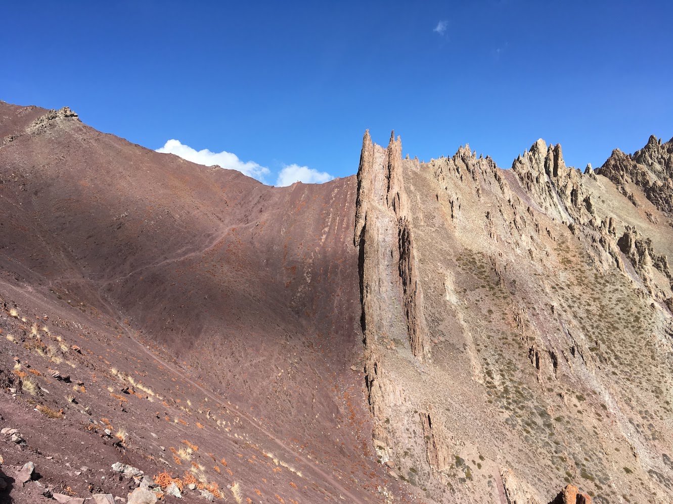 Stok La. Notice how the mountain suddenly changes color and texture
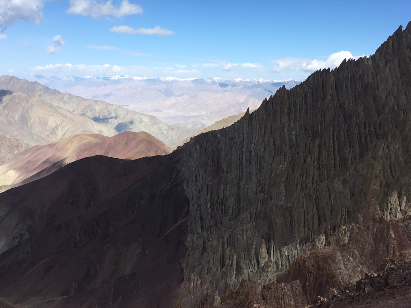 The Ladakh range from Stok La
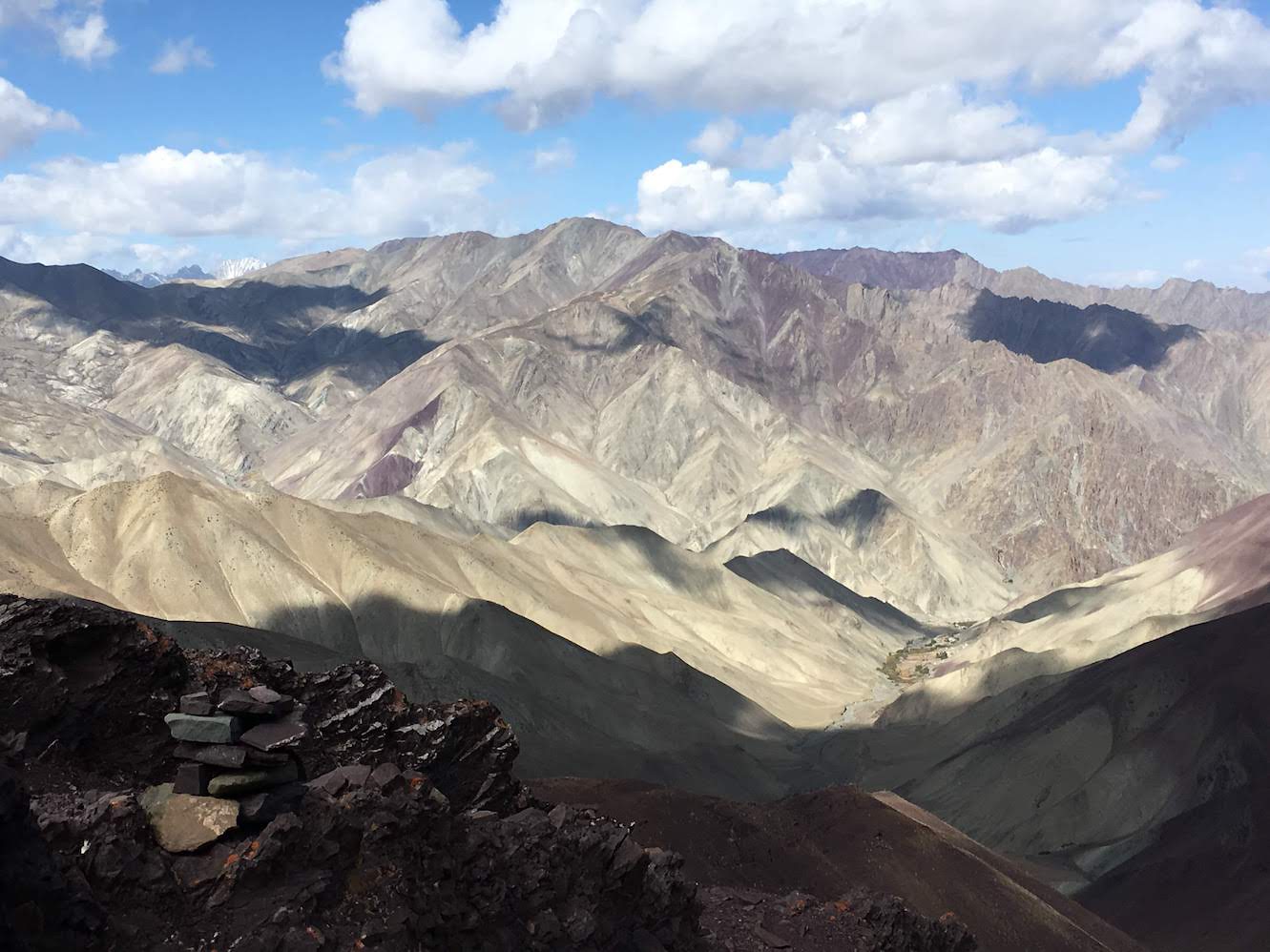 View to the south of the Stok La
The path going down the pass is steep and mostly covered with scree. It gets easier once you cross a stream and take its true right to reach Rumbak. The village has a few houses most of which double up as homestays. I had a hearty meal in one of the homestays that included local bread, omelette and many cups of tea. I then followed it up with a nice afternoon nap which got me rejuvenated for the one hour hike to Yurutse.
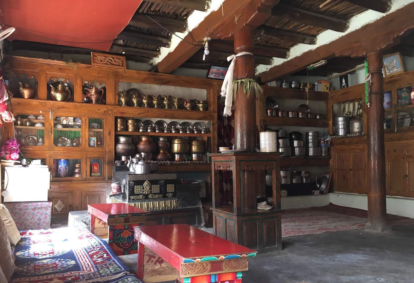 A traditional Ladakhi kitchen.
Just outside of Rumbak, the trail from Stok La meets the dirt road coming from Jingchen. It then crosses the Rumbak stream as well as the bigger Jingchen nallah to move towards Yurutse. There is a single, large homestay in Yurutse with basic rooms but the hospitality and food offered by the hosts is second to none. After a sleepless night at Doksar and a long day of walking, I was happy to settle down and grab some more namkeen tea.
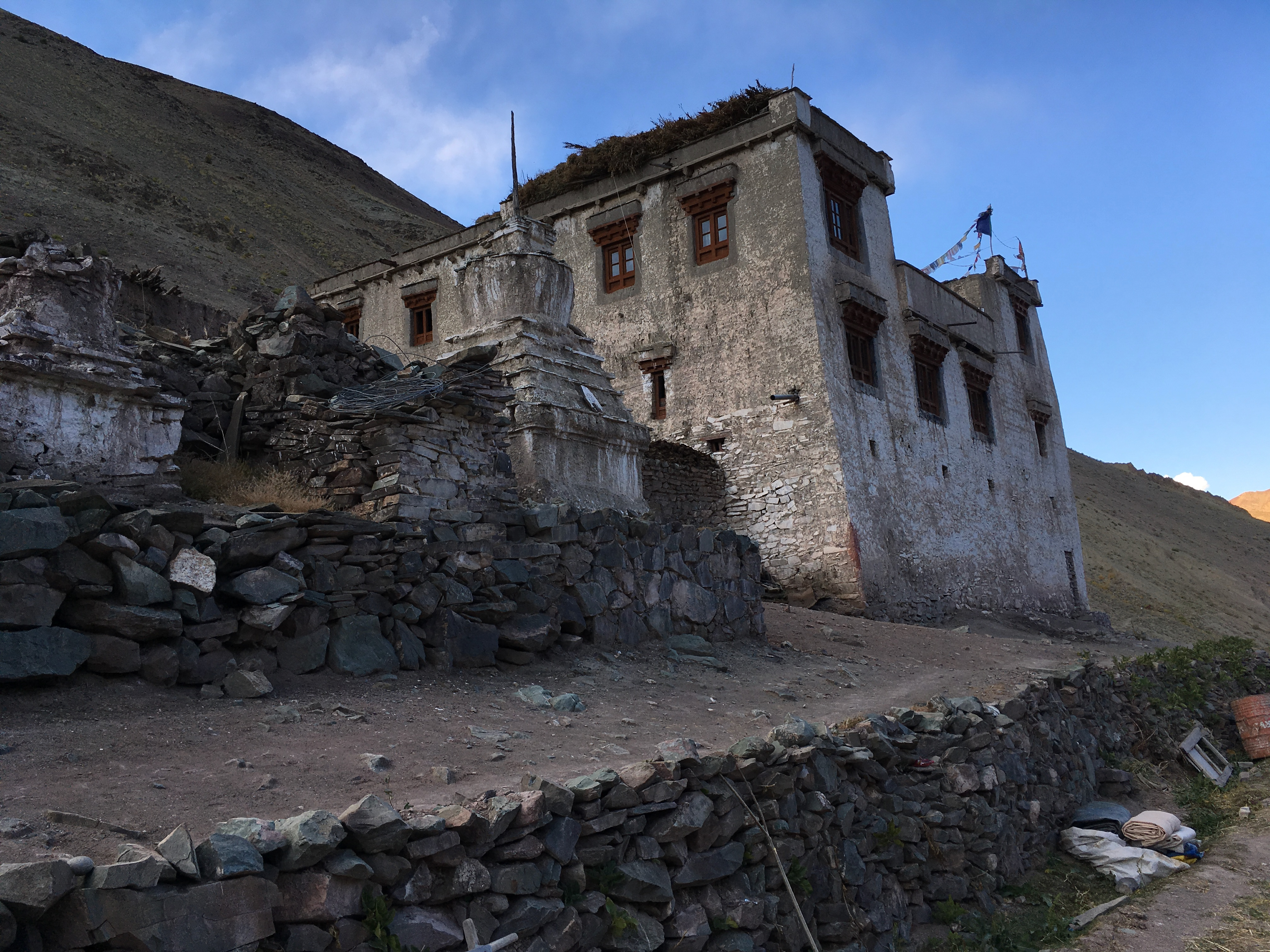 The lone house in Yurutse
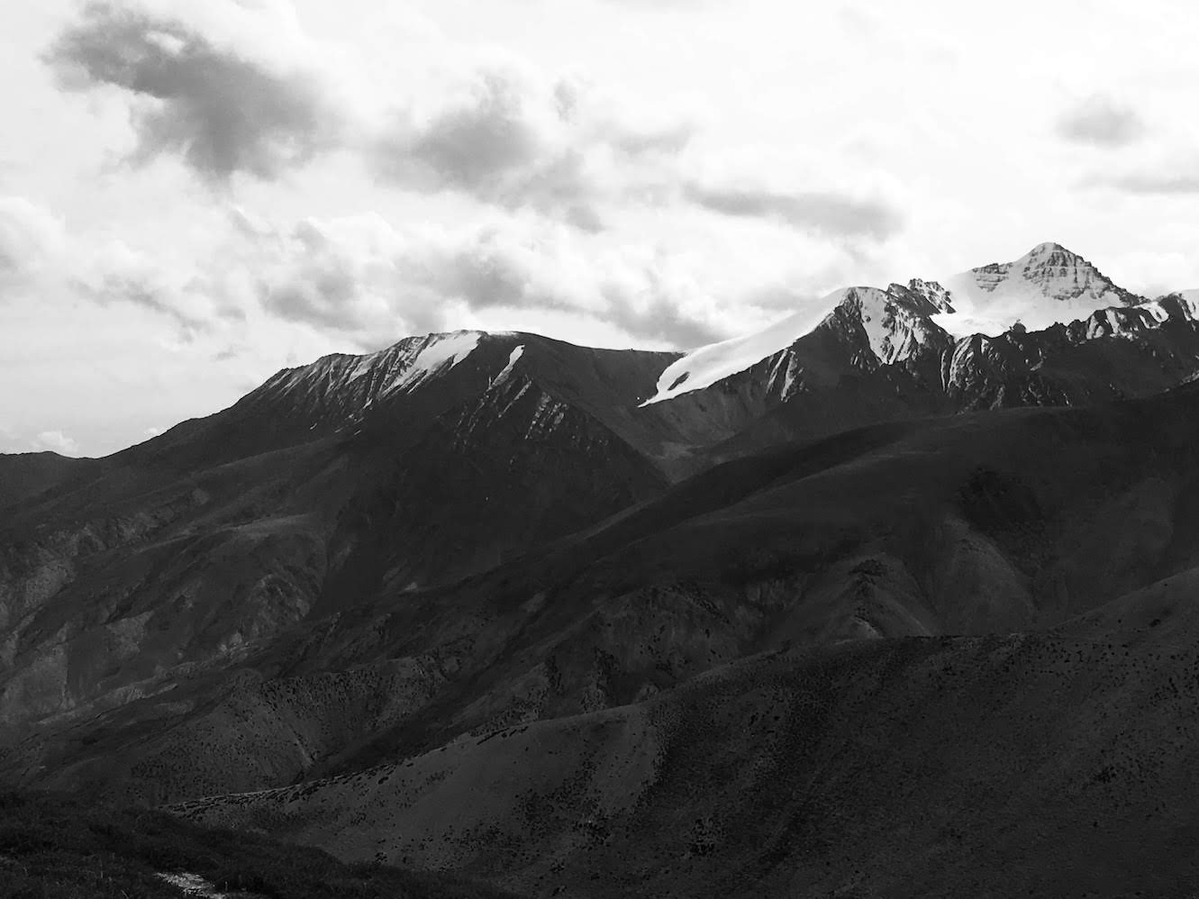 Stok Kangri from Ganda La
Yurutse to Skiu
From Yurutse the trail ascends gradually to reach a tea tent at the base of the Ganda La (4950m). The ascent to the pass from there is not too hard if you are well acclimatised and the pass is reached in about 2 hours of steady walking. You get great views of the Zanskar range and the Stok Kangri group from the top with the Ladakh range visible in the distant north. The descent from the pass is fairly gradual and in about 2 hours you reach the beautiful hamlet of Shingo which in early October was shimmering in autumn colours.
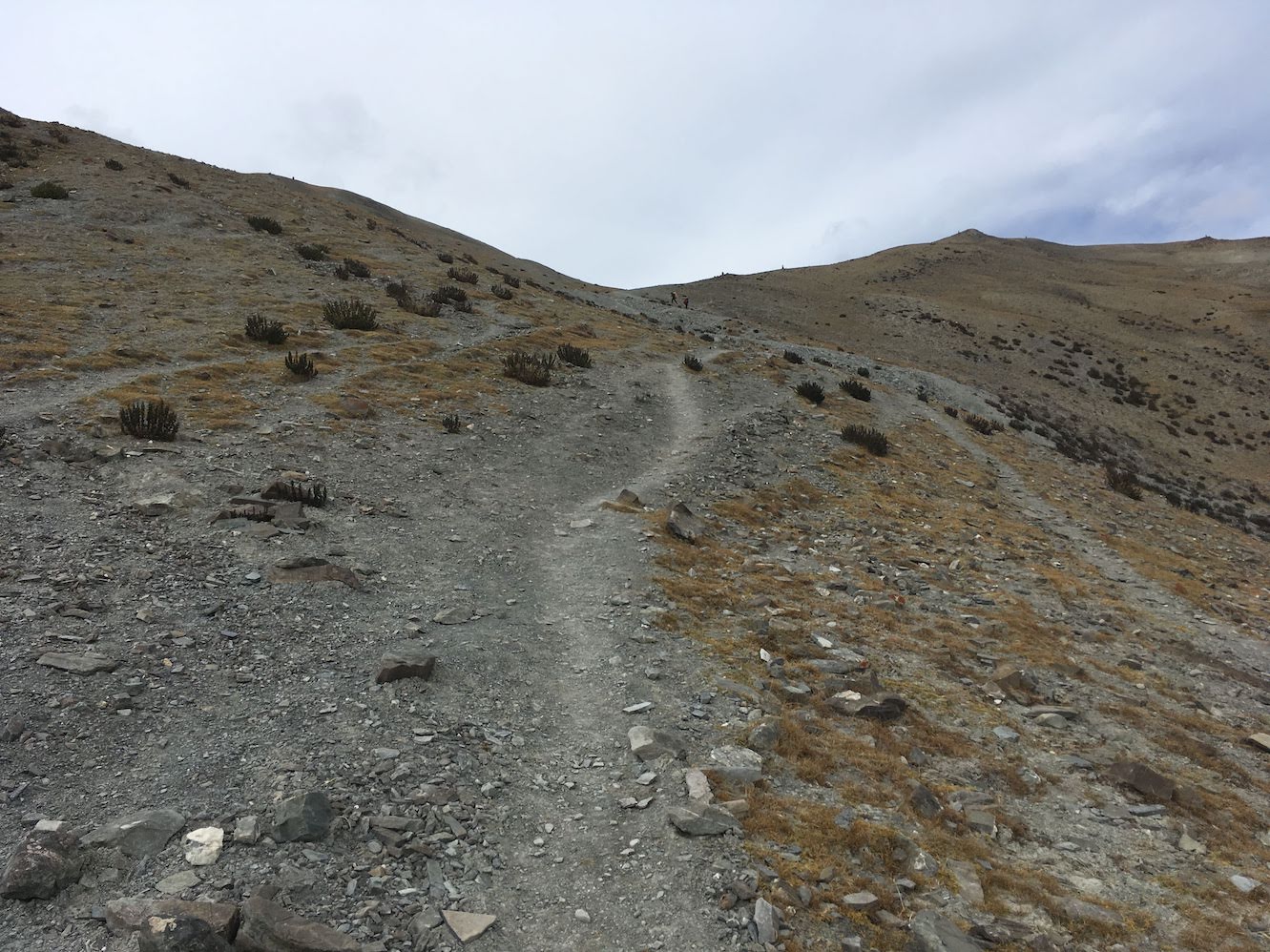 Close to Ganda La
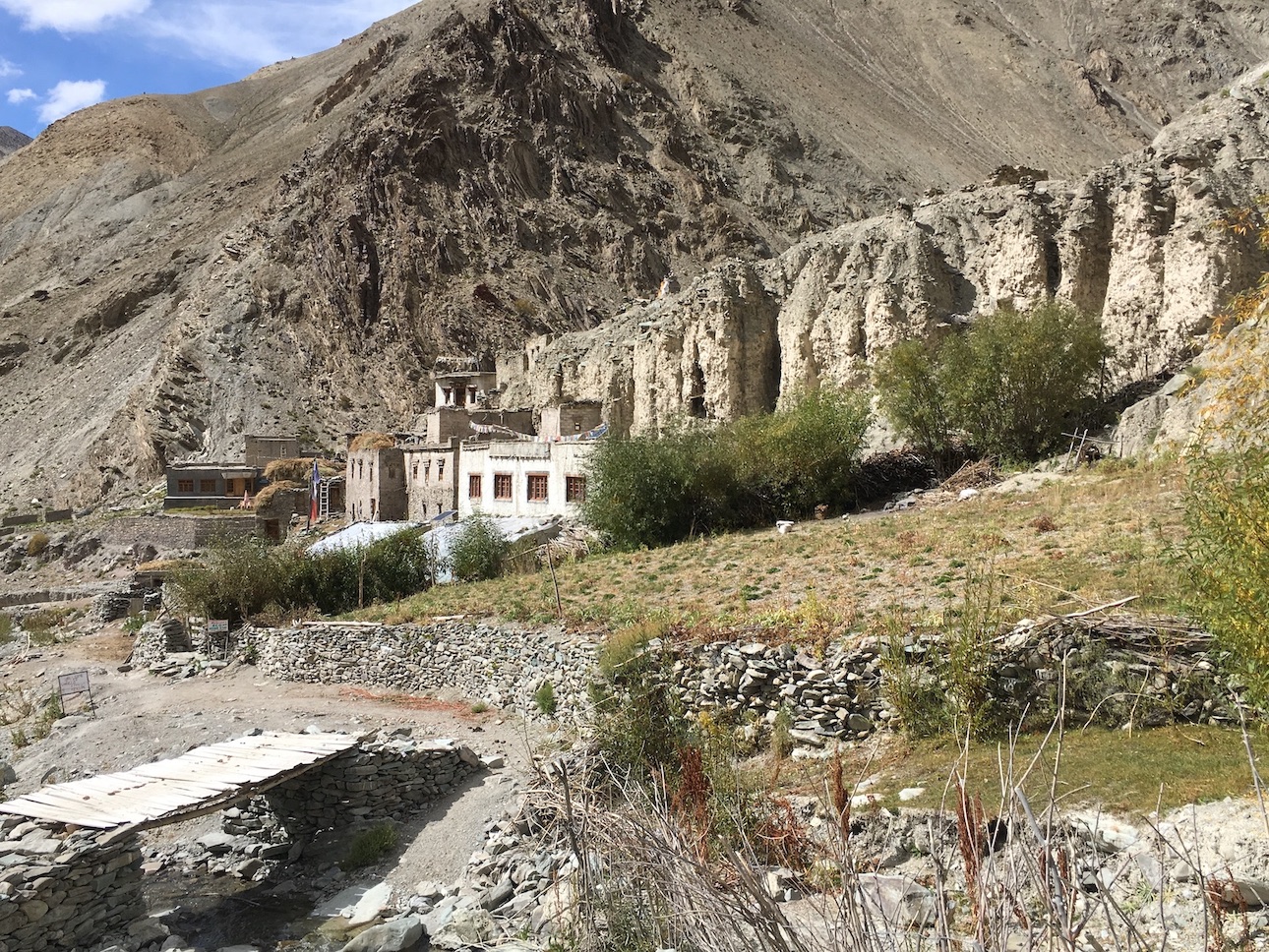 Shingo in autumn colours
The path goes through a narrow gorge after Shingo and crosses the stream a few times to finally settle on its true right. On both sides, it is flanked by steep, rocky cliffs of various colours which are home to a variety of high mountain wildlife. I was able to spot a big herd of Himalayan Tahr on one of the cliffs. In about 2 hours you reach Skiu which lies at the junction of the Shingo stream and the Markha river. Skiu is a large, green village with an old monastery and historic ruins that are worth exploring.
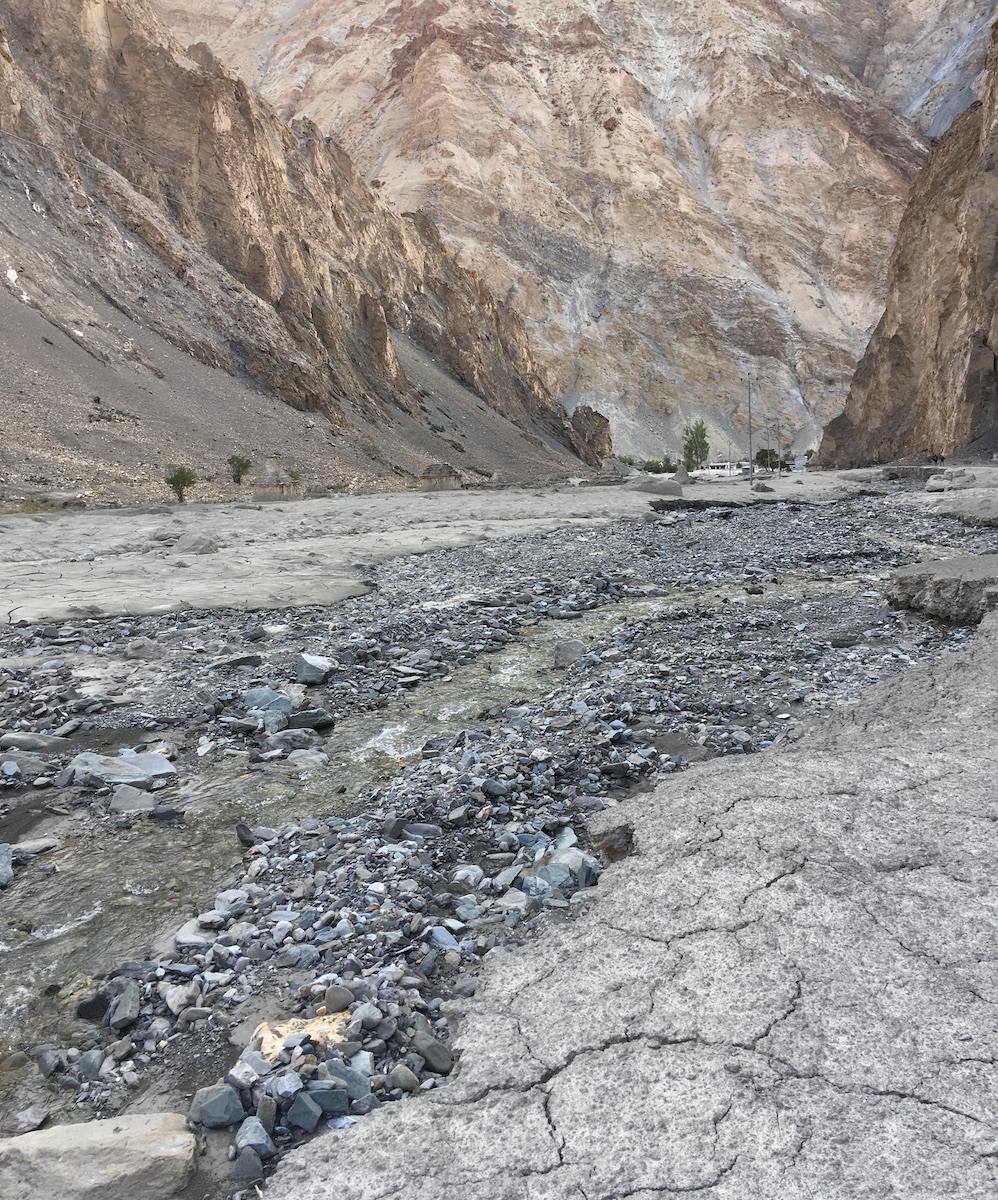 Reaching Skiu
Skiu to Markha
The walk from Skiu to Markha is quite long with a few villages along the way. A large part of the trail is now replaced by a dirt road that runs along the river all the way to Markha. I started off from Skiu when I noticed a herd of bharal (Himalayan blue sheep) behind some willow trees at the edge of the road. By the time I took out my phone for a photo, they had quickly moved up the steep, rocky slope.
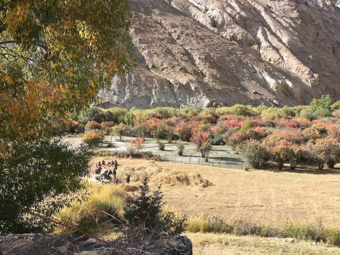 Threshing wheat in the fields of Skiu
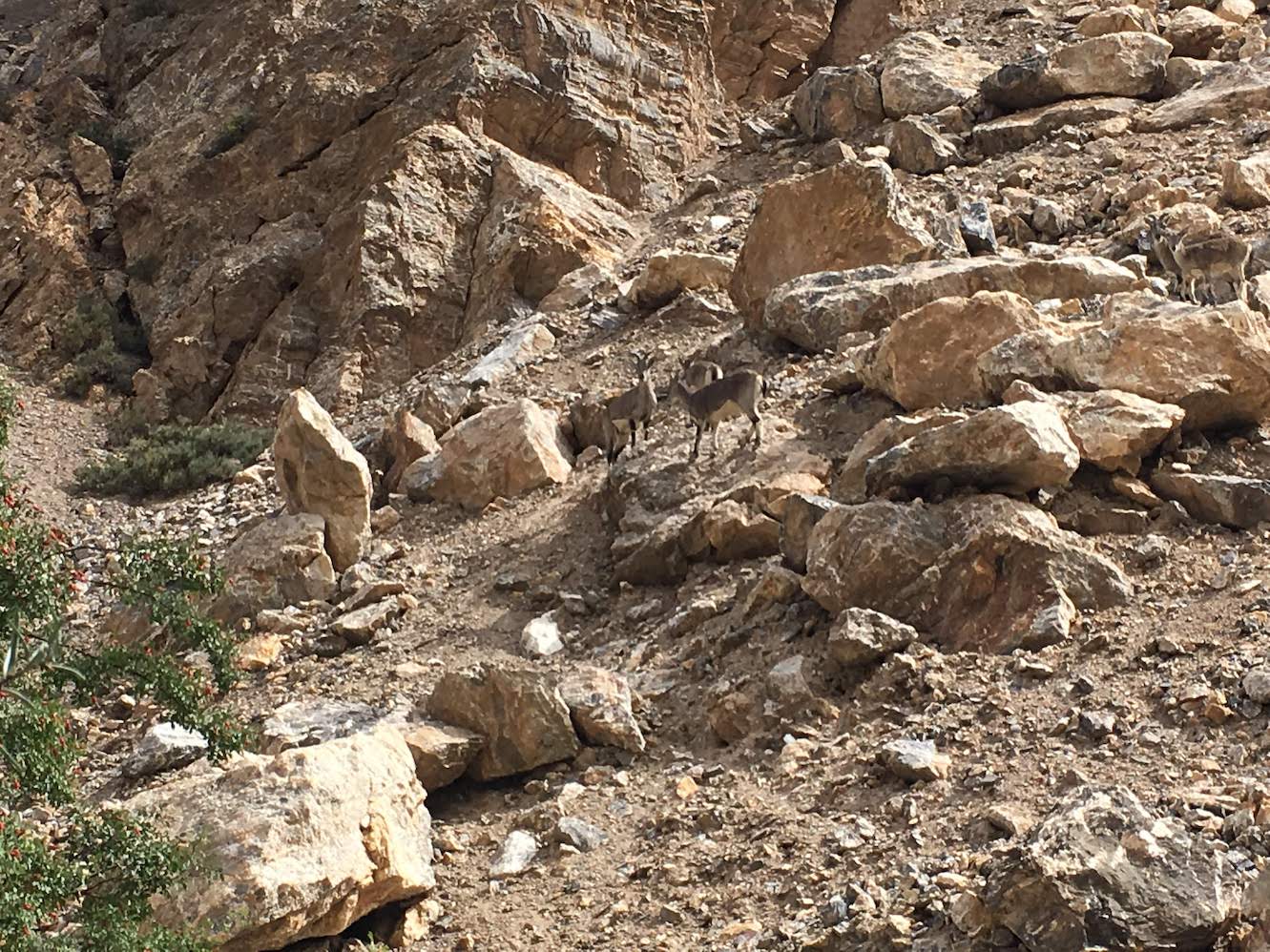 Bharal herd near Skiu
The trail keeps to the true right of the river till it crosses the iconic old wooden bridge over the Markha river. At Sara, which is a small village with a few houses, I had instant noodles for lunch at a tea shop run by an elderly couple. They also treated me to a couple of glasses of chhang, the local liquor made from fermented barley, which refreshed me for the next part of the trail.
You cross the river again after Sara and get on to the higher old trail which ends with a tall gateway marked by prayer flags. You get a breathtaking view of snow covered peaks over the wide Markha valley through this gateway while colourful trees and shrubs cover the valley floor.
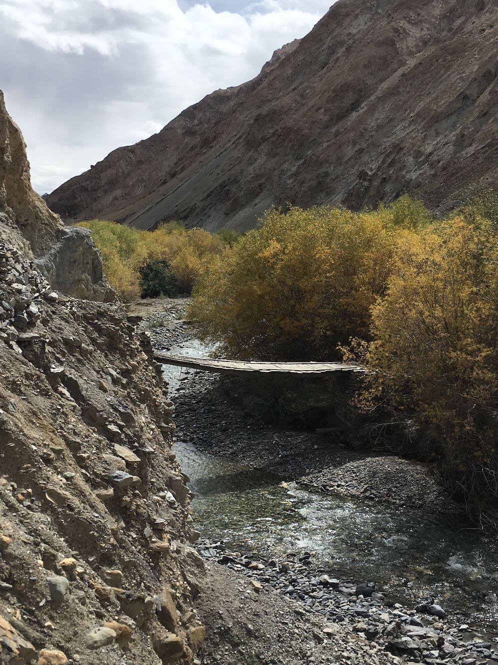 The old wooden bridge on the Markha river
The last part of the trail goes along the valley floor to cross the river a couple of times to reach Markha. There is a school on the outskirts the village where the trail divides into two - a really steep path goes towards the monastery and a flatter one goes along a school wall. I took the easier route which turned out to be much longer as it went around the village to enter it at the far end. I finally got to stretch my legs at the end of a tiring day in a small homestay that I found just before dark. A couple of bowls of soup followed by the Ladakhi delicacy chu-taagi, a vegetable broth with fresh home-made pasta, made me feel good before going to bed.
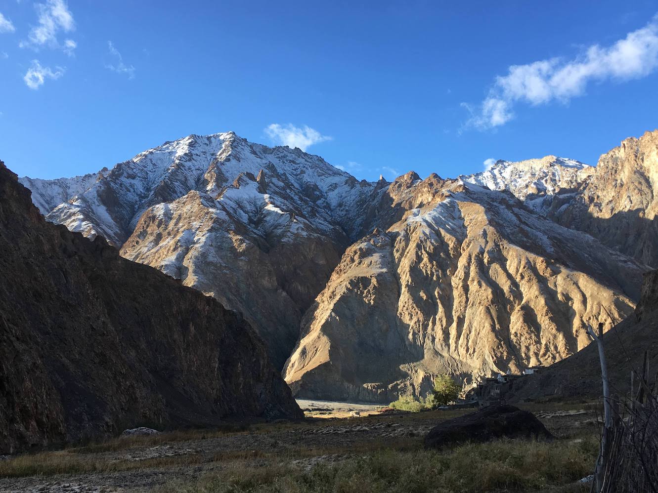 A crisp morning in Markha
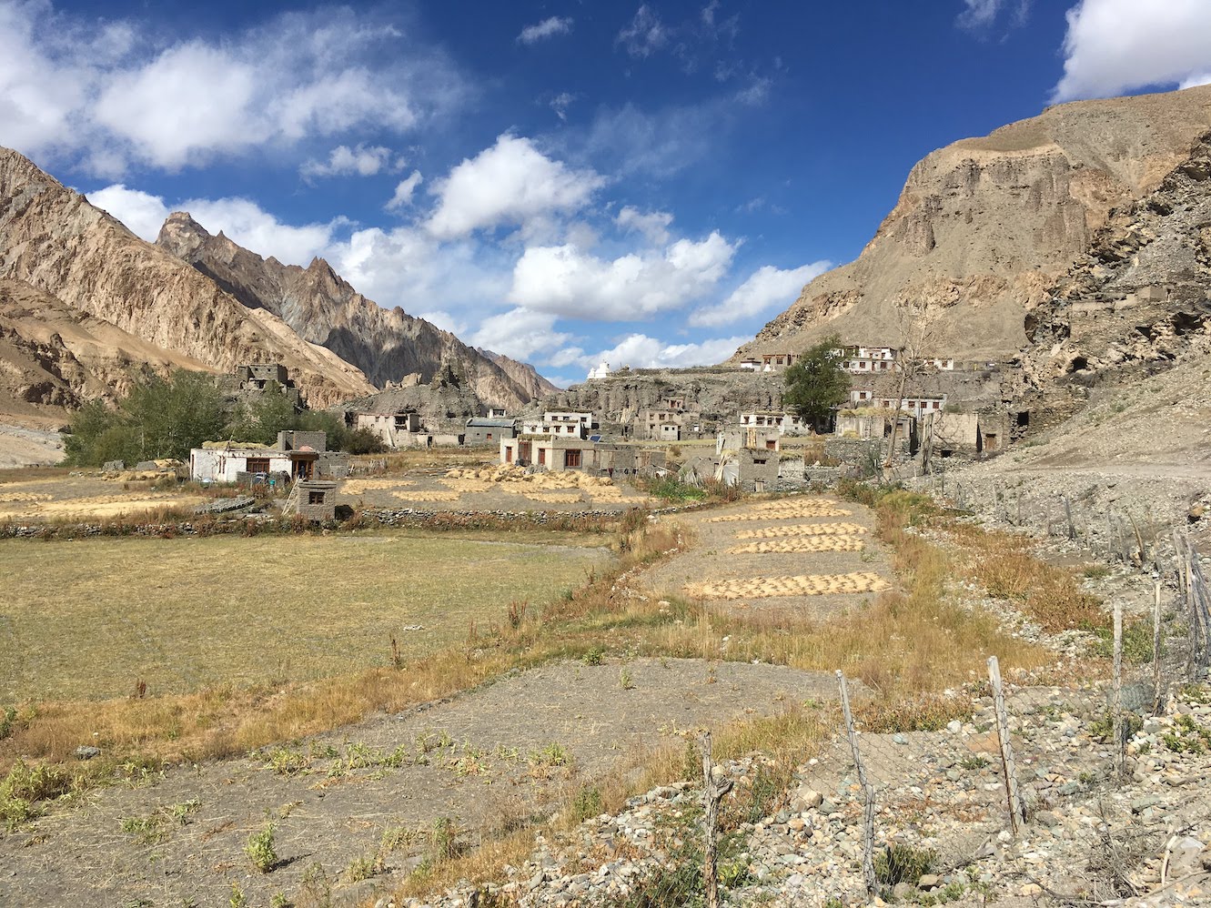 Markha village with the old citadel in the background
Markha to Hangkar
The next morning was crisp after a thunderstorm struck that night. Markha has some interesting ruins as well as a relatively new monastery that can be visited if time permits. About 2 km upstream of Markha village, there is a stream crossing but the water was low at this time of the year and a log across the stream allowed me to cross without getting wet.
The path then enters a shrub filled valley flanked by a sharp, pointed pinnacle on one side. The remarkable scenery looked like a frame from a Sergio Leone western. The pinnacle also marks the turn into a side valley that leads to Zanskar over the Rabrang La. The route known as Jumlam used to be a major trade Route in the past but is hardly in use now.
After an hour’s walk from Markha, I reached the Tacha monastery which sits precariously on a cliff top. The path to the monastery is steep but a visit to the top is well worth the effort. The old structure is made almost entirely of stones with nothing to bind them together. A lone monk affiliated to the Hemis monastery is posted in Tacha as caretaker. He was gracious enough to ask me into his quarters where we had tea and talked about how it feels to be alone in such a place.
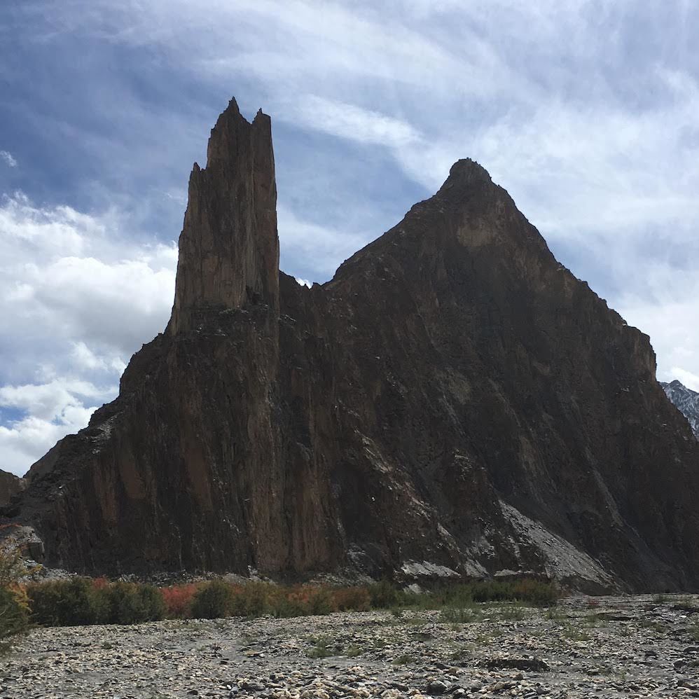 The Pinnacle of Jumlam
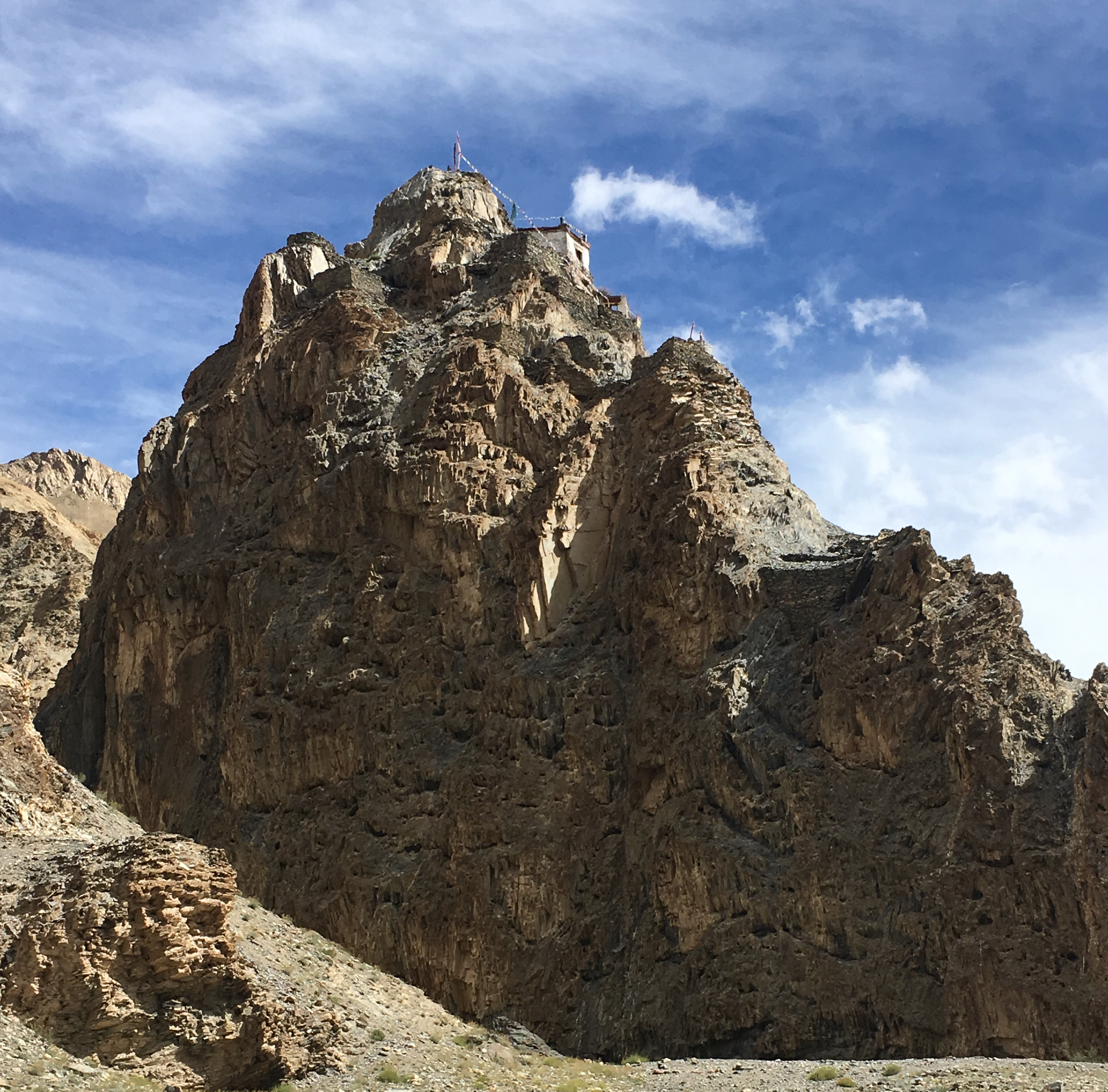 The Tacha monastery
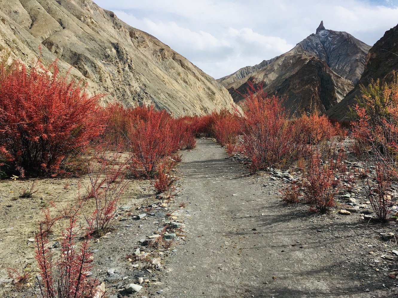 Red Temarisk bushes adorn the valley floor near Umlung
I had a light lunch at Umlung and reached Hangkar by late afternoon. The village of Hangkar is spread into a lower and an upper part. Lower Hangkar is situated downstream on the Markha river where a side stream from the north meets it. I had decided to stay at the first homestay available and stopped for the night in the lower part. With some extra time in hand, I went in to explore the side valley only to find a small village named Doltok at the base of a magenta coloured mountain range.
Next day turned out to be another long day of walking. The day started with a zigzag climb through a narrow ravine that leads to upper Hangkar. This part of the village turned out to be more interesting with the remains of an old fortress built on top of a steep crag. It is hard to imagine that a place with no electricity and roads used to be important enough to have a fortified town centuries ago. Towards the east, Kang Yatse and Dzo Jongo stand like guardians overlooking the fields of Hangkar.
From Hangkar, it is an easy walk along the river till you reach the bridge where the Markha valley splits into two. The path across the bridge goes along the Langthang Chen river towards Zanskar whereas the path to Nimaling diverges just before the bridge and goes along the left bank of the smaller stream named Nimaling Chu.
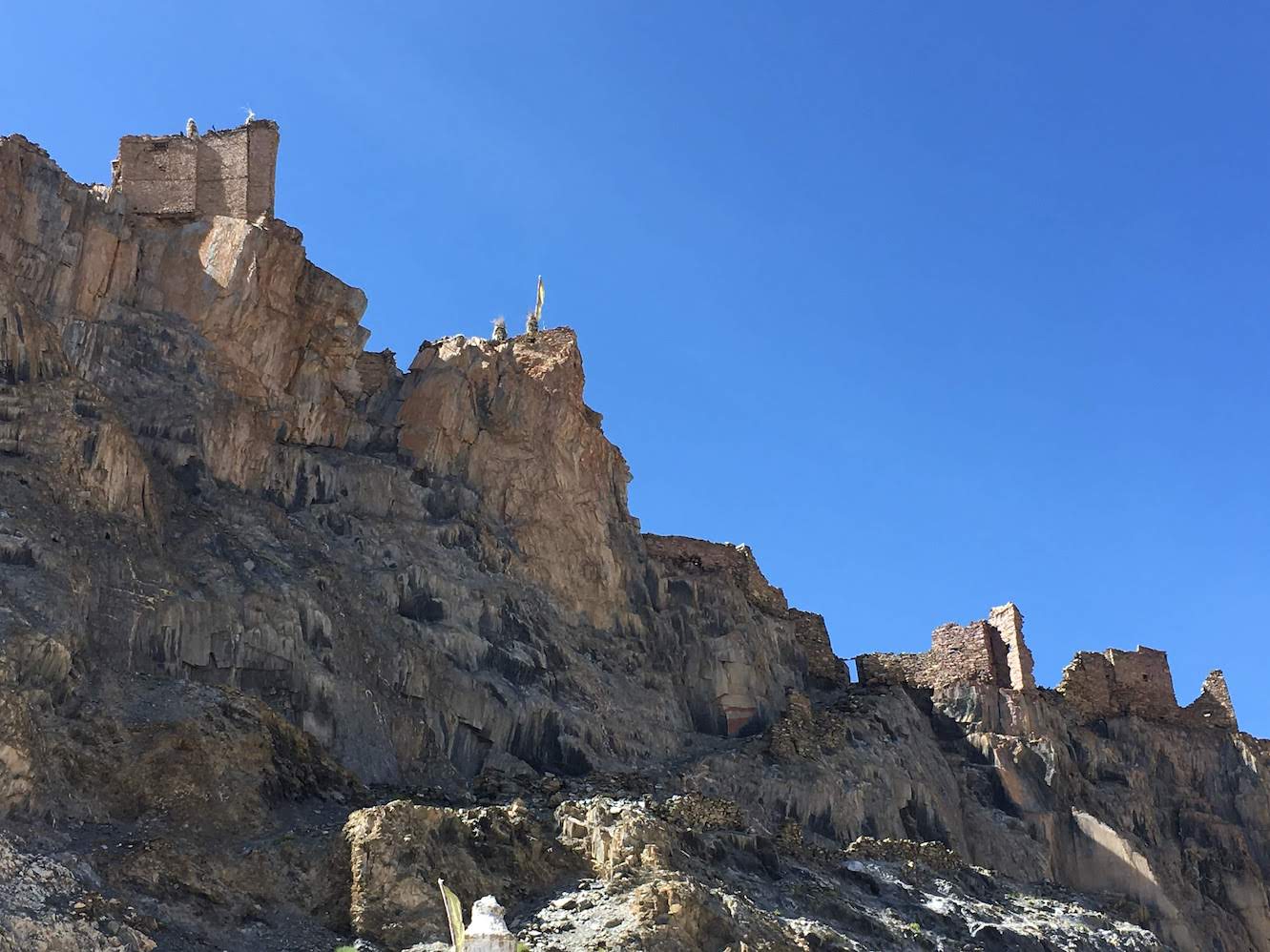 The fortress of Hangkar
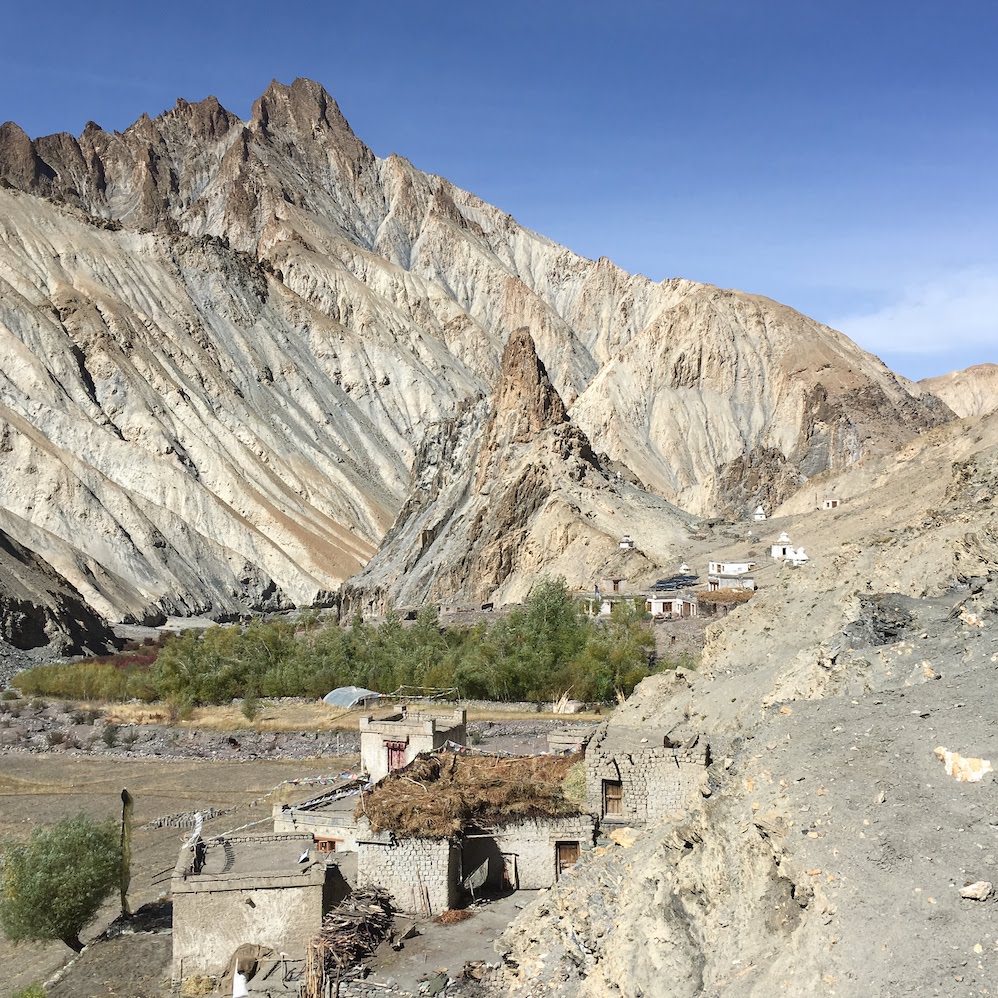 Upper Hangkar and the fortressed crag
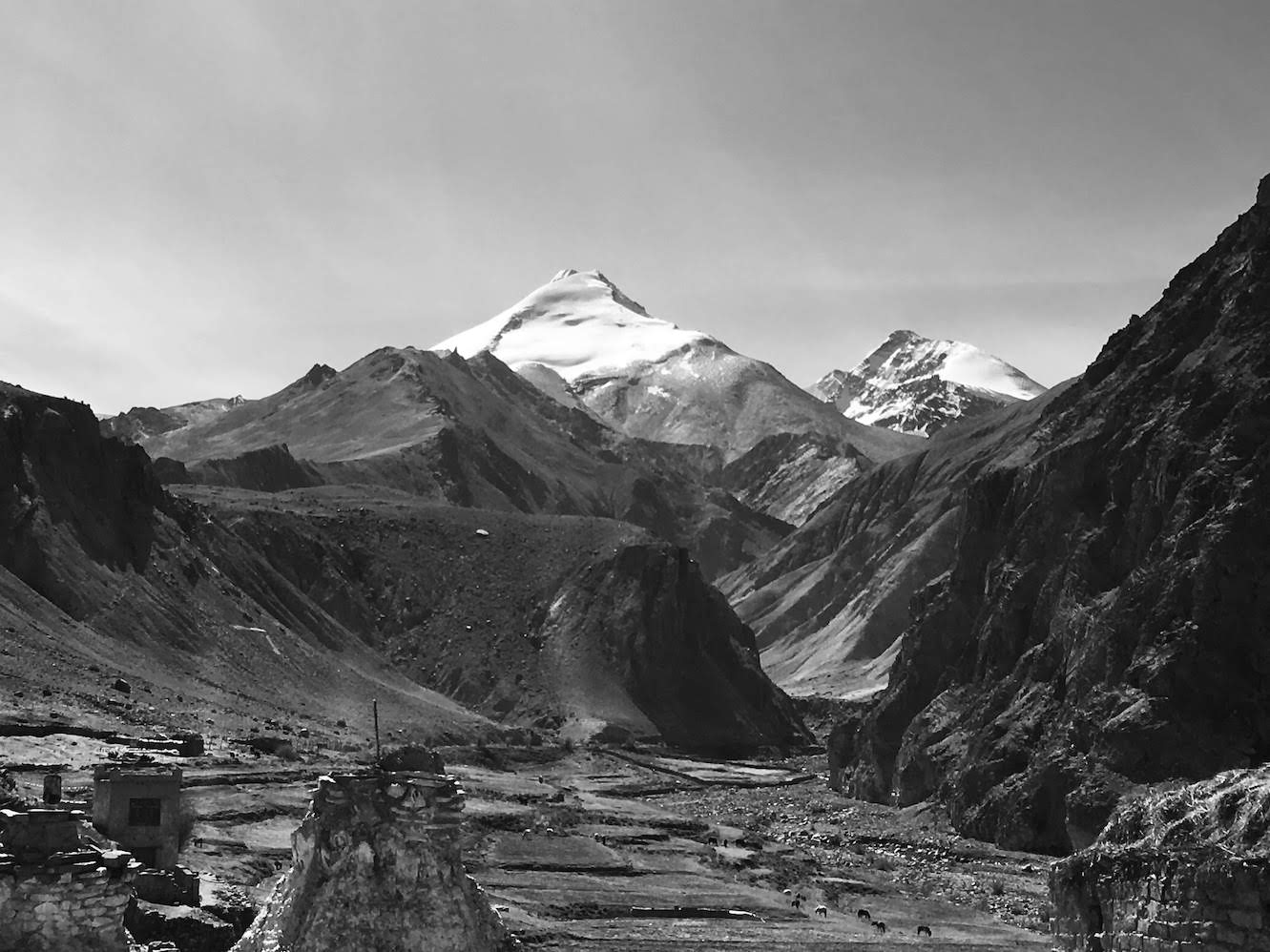 Kang Yatse and Dzo Jongo overlook the fields of Hangkar
Nimaling and Kongmaru La
The walk along the Nimaling Chu stayed easy and I reached the grazing grounds of Tachungste within an hour. The ascent gets steep from there till you reach a high point where a couple of small, serene lakes can be seen with the western face of Kang Yatse in the background. The lakes are probably holy as one of them has a statue of Padmasambhava in the middle with prayer flags along the periphery. A little further up from the lakes, the path descends into the vast meadow of the Nimaling valley which extends for several kilometers along the stream. There are tents available for rent but the nights can get extremely cold here. It was good to have some company as two more groups had reached Nimaling the same evening - two Polish men and two Korean women who were with a local guide. Interestingly, I had met the two Polish guys before at a lesser known beach in Goa. So much for six degrees of separation!!
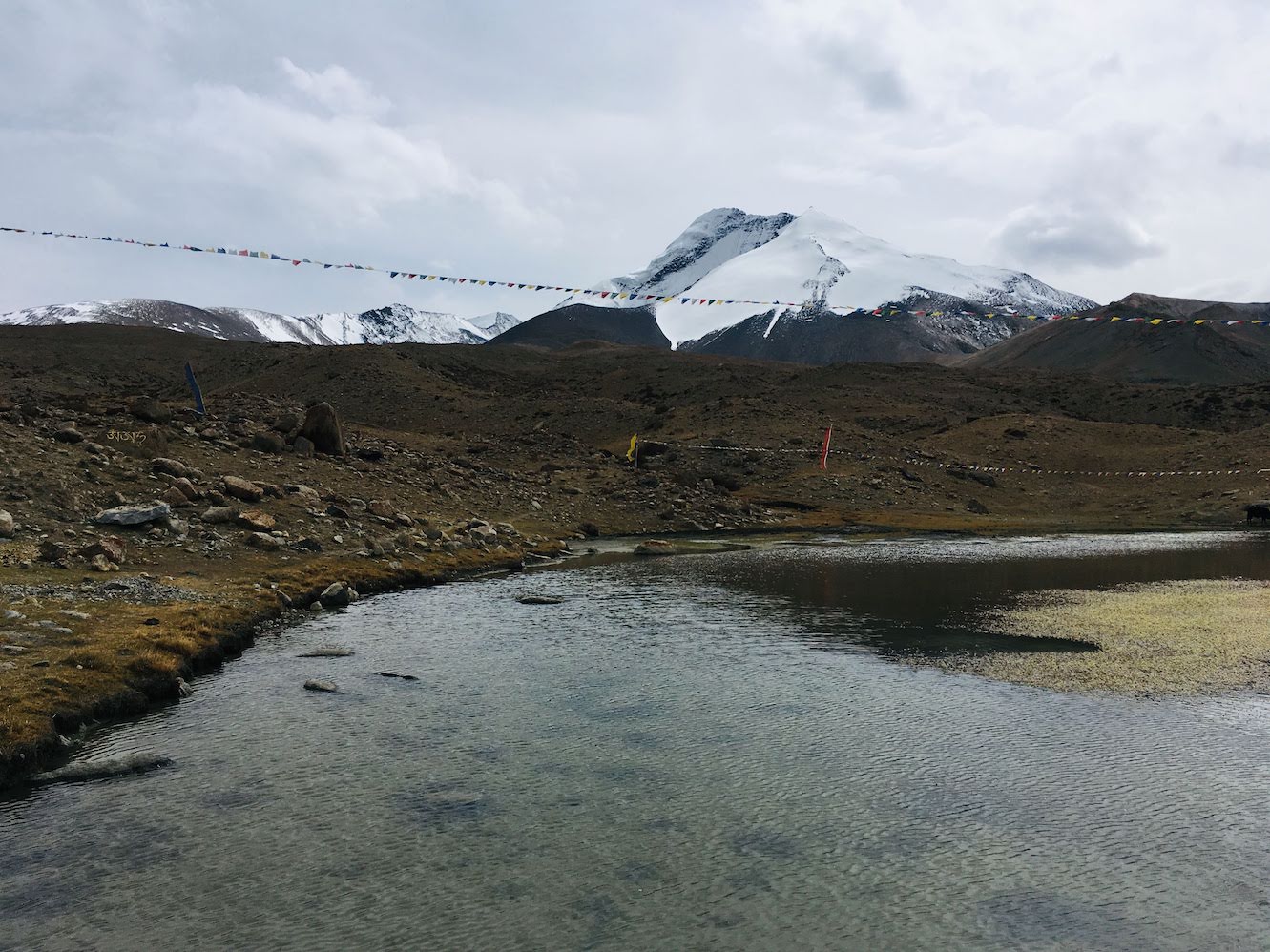 Small lake before Nimaling
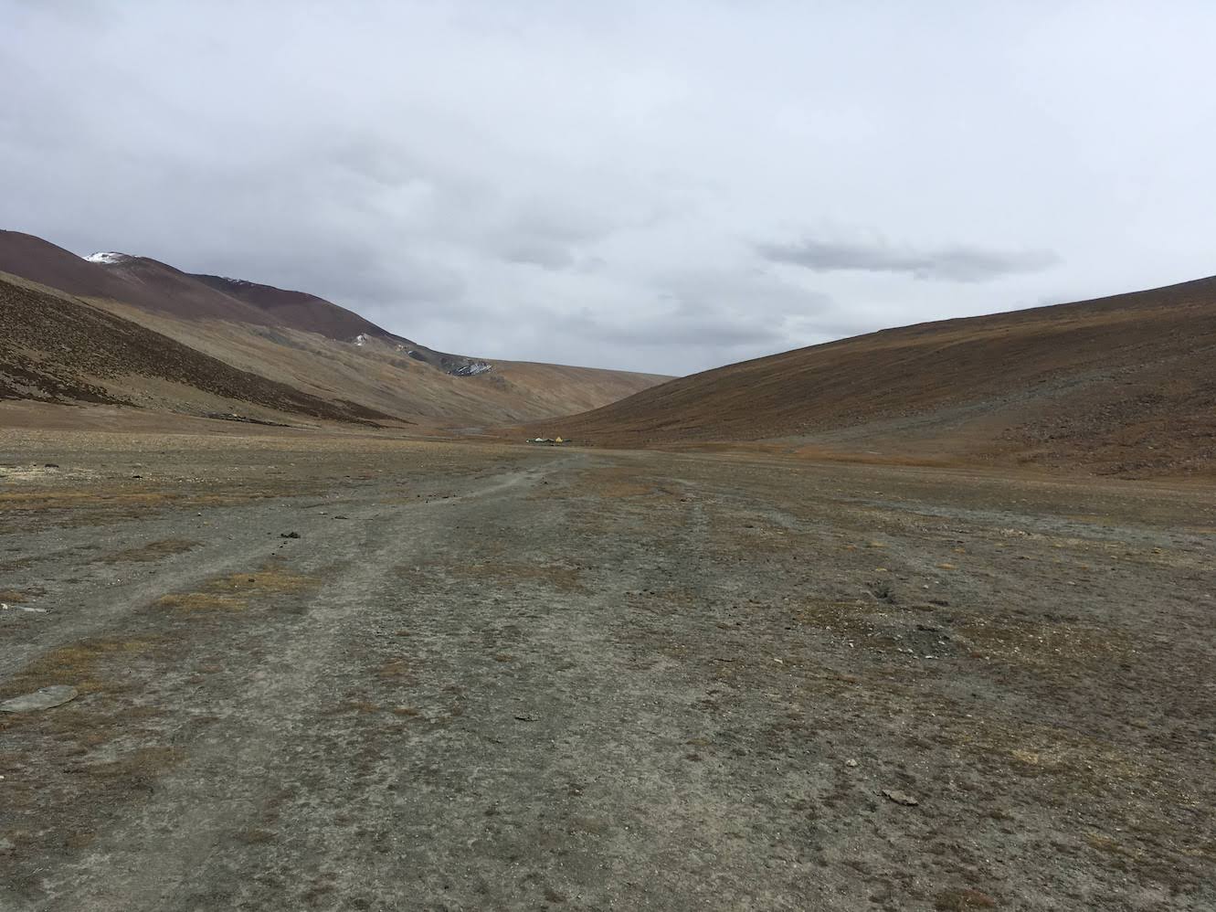 The vast Nimaling valley
After a cold and windy night during which I managed to get some sleep, the next morning turned out to be sunny and welcoming. I had a hearty breakfast and then left along with the other folks on a long, slow march towards Kongmaru La (5250m). The process to reach the pass is simple - walk a few steps, get tired, rest, look back at the mountains, and repeat. The bleak and lifeless surroundings make the walk even more tiring. However, the constantly changing views of Kang Yatse with clouds flirting around its twin peaks did provide the inspiration to soldier on. Finally, after an endless hour and a half, I was at the summit of Kongmaru La - the highest point I had ever reached on foot. The pass itself was cold and windy with great views of variegated mountains to the north. I clicked a few photographs at the summit and continued down the other side where it was sunny and warm.
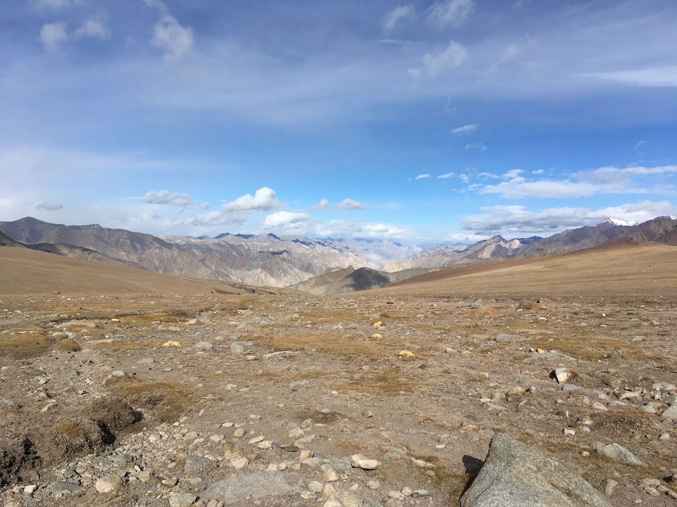 Sunrise
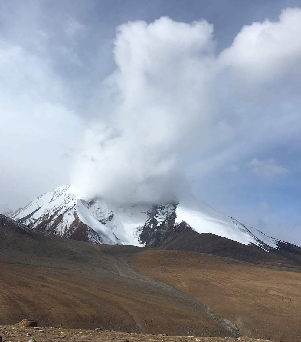 Clouds flirting with Kang Yatse
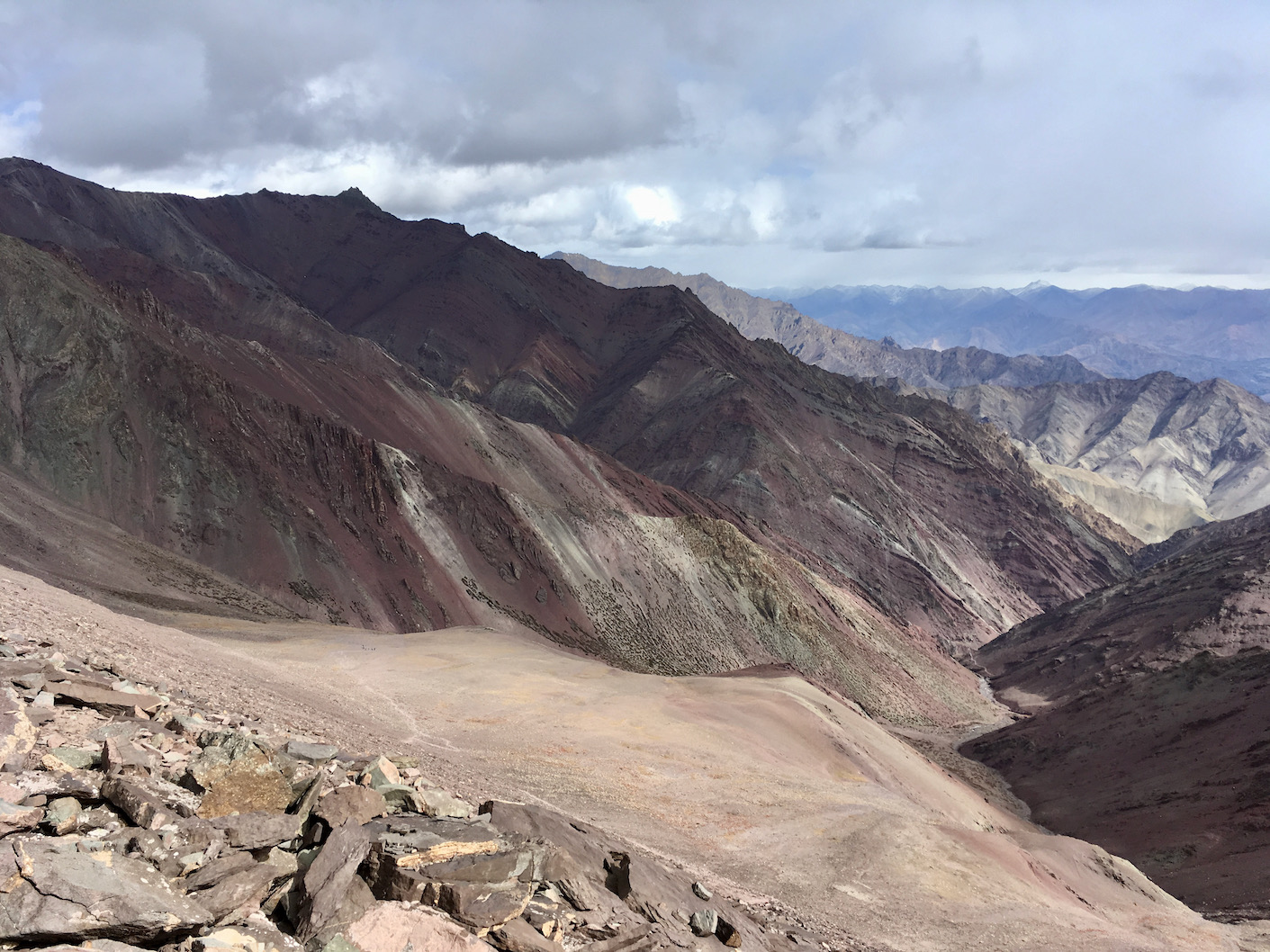 View from Kongmaru La
The descent from the pass is steep with mountains of different colours and textures all around. After crossing a campsite at the base of the pass, the trail enters a narrow red sandstone gorge with a stream running through it. It is an interesting walk along the banks of the stream and as you come out of the gorge, formations shaped like the Easter Island giants can be seen along the steep valley slopes. The entire stretch from Kongmaru La to Chogdo is like a walk through the innards of the Himalayas - a place where the mountains reveal the true nature of their creation.
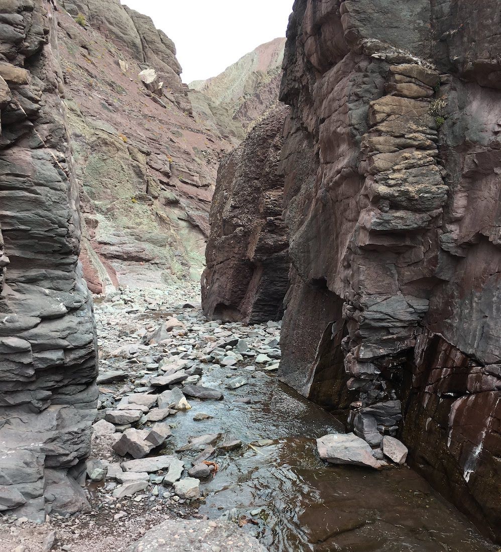 The narrow gorge
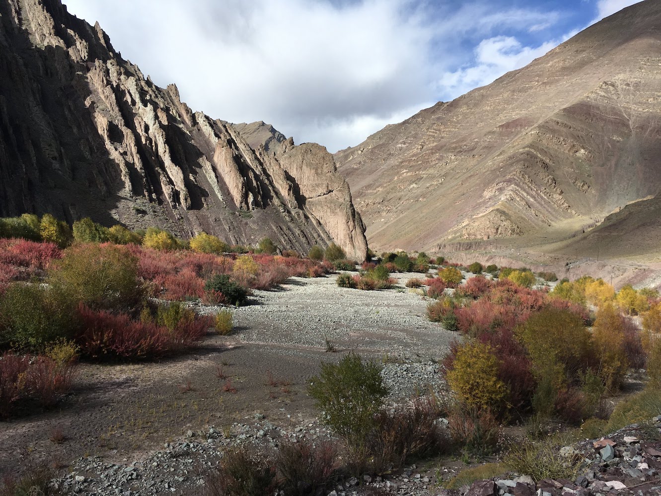 Somewhere between Chogdo and Shang Sumdo
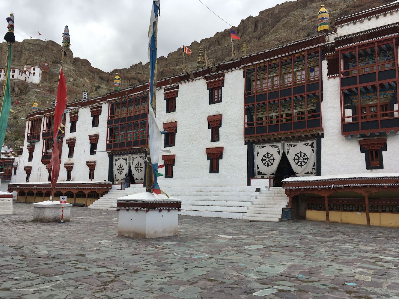 Hemis monastery
The valley starts widening as one reaches the village of Chogdo. The village is now connected by a proper road and you can easily get a taxi to Leh from there. There was still some time left in the day, so I decided to visit to the Hemis monastery which lies half an hour off the route. The monastery is one of the most important in the region and has grand temples dedicated to the Buddha and Padmasambhava. It is home to some jaw dropping murals and also houses one of the best museums of medieval Buddhist artefacts from the Himalayan region.
A thunderstorm was approaching and I quickly made my way back to the car. With that my week long journey into the mountains came to an end. I had come to be impressed by the sights of nature but it was the forgotten ruins of the Markha valley that really left me speechless.
Info
-
For more information on the route, check out Depi Chaudhry’s Trekking Guide to the Western Himalayas
-
AllTrails GPS log, Covers Spituk to Hemis (Shang).
-
A great research paper on the historic ruins of the Markha valley - An Archaeological Account of the Markha Valley, Ladakh.
Trip dates: 1-7 Oct 2019